COASTAL RISK SERVICES
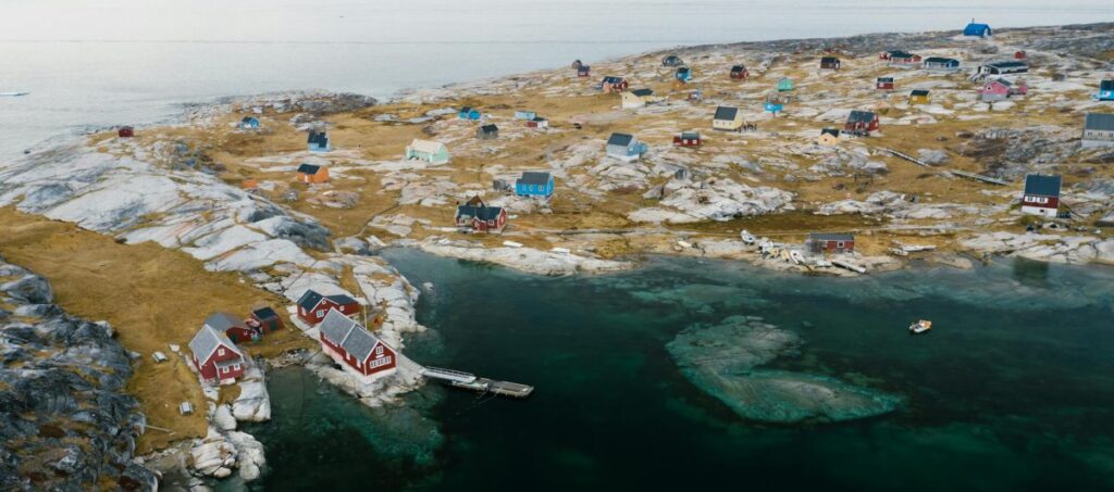
Site typology, location & description
The maritime industry continues to expand in the waters around Greenland. Apart from fisheries, which by far is the most important income for Greenland, other elements are transportation of goods and cruise tourism, which are highly dependent on ships and accessible waterways. The accessibility is among other things dependent on the sea ice conditions. Disko Bay is one of the larger fjord systems of Greenland, it has seasonal ice cover and some of the most active glaciers, which contributes to the freshwater discharge (both liquid and solid) that influences ocean circulation. At the same time, it attracts attention from tourism and fisheries with its glaciers, icebergs, sea ice and high biological production.
Site challenges
The Greenlandic seas and fjord systems will continue to be seasonally ice covered in the future but it is expected that the duration will change. The expected retreat of the sea ice will not only impact the maritime industry but will also pose a threat to some local communities. Indeed, the coast will be increasingly exposed to extreme events from the ocean sides driven by an increase in the wind fetch, in surge and therefore higher water level and tides. This means that many tourist cruise operators, fishermen, and other stakeholders are interested in the safety at sea and the development of the ocean’s physical state. Onshore, there are settlements located very near the coast, which will also be exposed to potential storm surges.
Past work and existing data
Steep topography and deep fjords with many narrow straits characterise the coastal regions of Greenland. This is tricky to resolve by global and large-scale regional models. Therefore, it is important to improve the resolution in order to resolve the local features. This is the case for the area around Disko Bay. DMI has a long record of simulating pan-Arctic and regional Arctic domains. The existing Copernicus use case that has been operational from summer 2024 is used for short term forecasting. This work will form the foundation for MOIRAI. In addition, there is an extensive system of observations that will be used to validate the system. These observations are primary obtained by the Greenlandic Institute of Natural resources.