COASTAL RISK SERVICES
Site typology, location & description
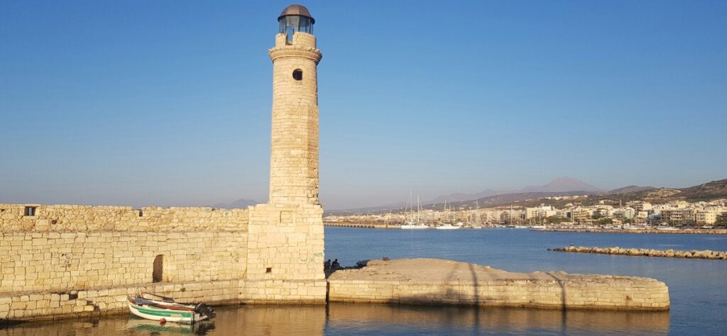
Rethymno is positioned along the northern coast of the Island of Crete, Greece, in the Eastern Mediterranean Sea. Renowned for its rich historical and cultural heritage, Rethymno stands as the third most populous urban area in Crete. The city’s economic vitality is substantially rooted in tourism. The port of Rethymno holds a pivotal role, serving as a hub for trade and cultural exchange, contributing significantly to the city’s dynamics.
Site challenges
Over the years, significant coastal flood events have occurred, primarily attributable to the combined impacts of storm surge and wave overtopping. These events have resulted in substantial damage, posing a grave threat to the (i) safety of coastal residents, (ii) the integrity of historical and cultural heritage and properties, and (iii) the functionality of the port. Residents’ visual observations indicate that water can infiltrate urban areas within half an hour of the event’s onset, with durations extending over several hours. Instances of coastal flooding, have been characterized by elevated sea-water levels induced by meteorological forces, specifically storm surge, and wave overtopping. These events led to extensive coastal inundation, causing severe flooding in parking, urban, and port areas (see figure). Coastal erosion also poses a threat to the extensive sandy beach east of the commercial port. This shoreline constitutes one of the most significant landmarks in the region, supporting economic and tourist activities while serving as a protective barrier for the coastal urban area. Anticipations suggest that the impacts of climate change and sea level rise will exacerbate coastal flooding and shoreline erosion in the forthcoming decades.
Past work and existing data
Over the past years, state authorities and universities have been actively pursuing measures to address the challenges above. Local authorities have undertaken engineering studies aimed at reducing wave overtopping. In this context, bathymetric surveys were conducted in the port and the adjacent coastal area. These studies and data will prove instrumental for nearshore modelling of the coastal processes. Moreover, existing video recordings and resident observations will contribute significantly to comprehending the spatiotemporal evolution of coastal flooding events, including the extent of flooded areas and associated damages.